
01
Design into the real environment
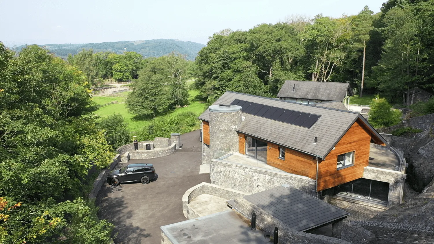
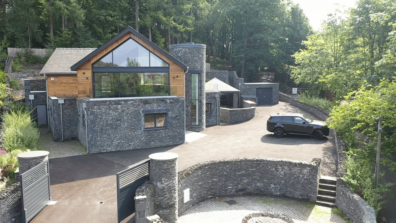
Full landscape surveys let architects and engineers design buildings and structures into an environment, taking account of elements in the surroundings which can often be missed on traditional surveys.
Sectors
Professional drone survey and 3D modelling that lets architects and engineers design into the environment as it actually is.
The use of a professional drone and associated software to conduct full landscape surveys is a massive benefit for architects and engineers when designing buildings and structures into an environment.
Full landscape surveys let architects and engineers design buildings and structures into an environment, taking account of elements in the surroundings which can often be missed on traditional surveys.
Locations of service parts such as pipework, cabling trays and drainage are laborious to map and measure. A single visit survey can help plot exactly where services meet, avoiding costly redesign where clashes may occur.
Where accessibility and challenging terrain limit standard techniques, scanning a site from above is often the best way forward.
Coupled with our 3D modelling packages, the end result gives clients a real sense of how the finished building will look and feel. Converting the model into Virtual Reality adds a further stage of realism.
Model to visualisation
The same camera on the project model and the finished visualisation. Drag across to see how the design becomes the picture the client signs off.
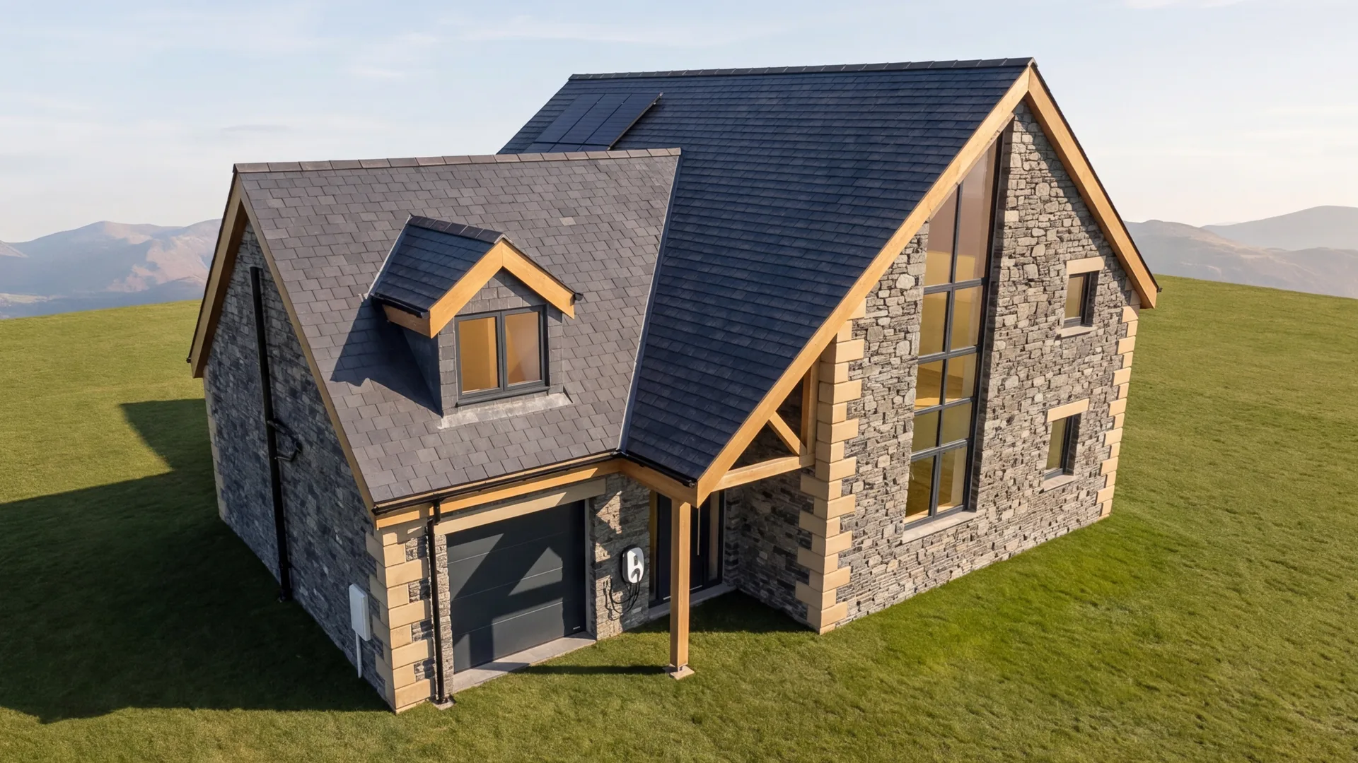
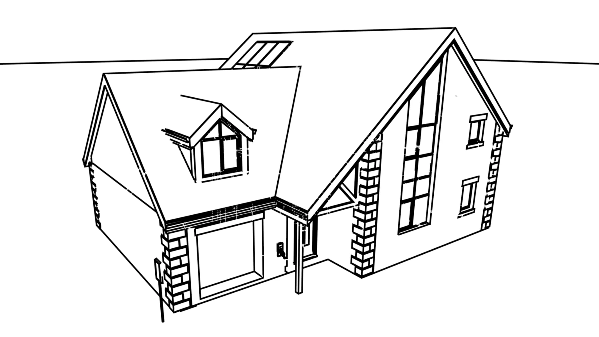 ModelVisualisation
Tell us about the site and we'll advise on the survey and modelling you'll need.